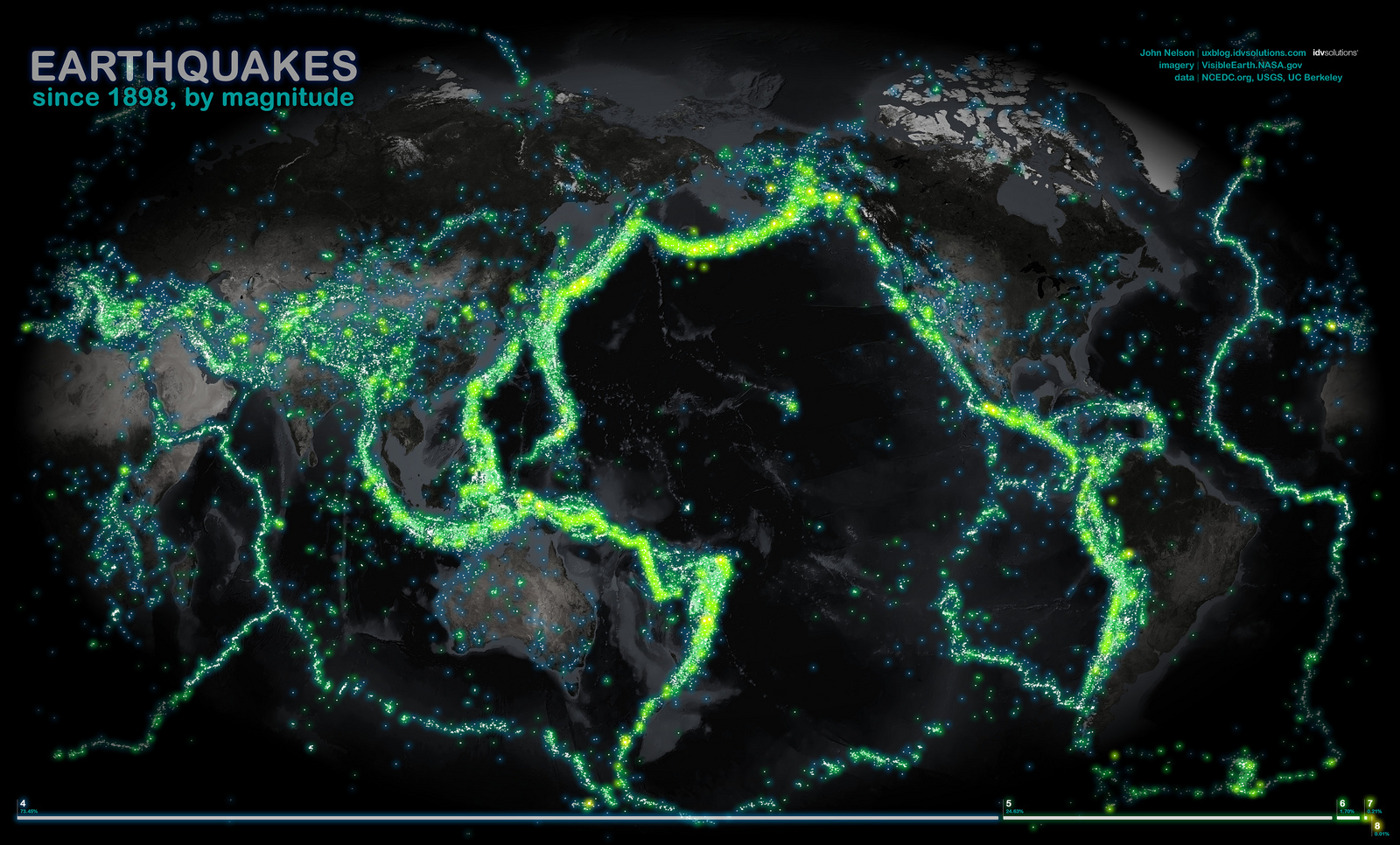
Following last night’s 50 second shaker here in New Zealand (magnitude 7, but luckily nice and deep), I figured this image was appropriate.

New Zealand’s in there, but mostly covered by the nicely thick green line going straight through it. You can see Northland and a teensy bit of the bottom of the South Island, if you look closely. IDVSolutions, the maker of this image, described it as follows:
With a heaping pile of data from NCEDC.org and the USGS, every recorded earthquake with a magnitude of 4 or higher was spattered onto this map. The satellite imagery was sourced from an August composite via NASA’s Visible Earth.
More details on last night’s big earthquake (there were small ones, too) at geonet.org.nz. Also, check out the #eqnz twitter stream, which has been going since the Darfield earthquake (at least).